Locations – Pentyrch, The Garth
Distance – 13.2 miles
Elevation – 1384 feet
I set out today with a plan to follow the route we ran on my first Running Punks Sunday Clwb. That quickly fell apart when I took a wrong turn and realised I was somewhere else.
I ended up running along the Taff and coming out in Radyr so I headed up to the golf course with another plan in mind.
This involved exploring a path I’d been looking at online. In theory, this was another route to Pentyrch which I was keen to discover as I always run the same way.
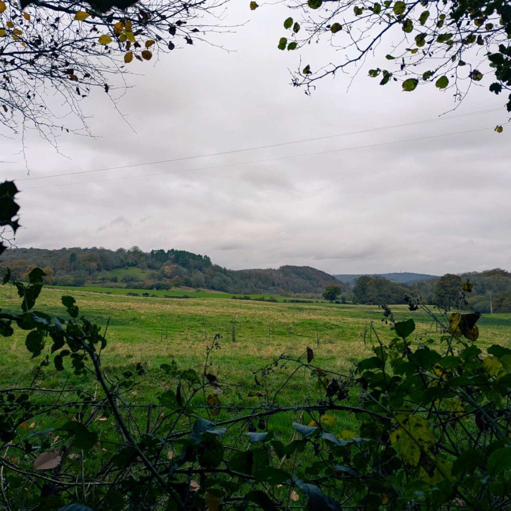
Today’s photo was taken from woodland called “Coedcae Fawr” on OpenStreetMap.
After emerging from the woodland, I realised where I was and made my way through Pentyrch to more familiar ground.
I was pleased to manage 13 miles with plenty left in the tank and a quick final 2 miles. I need to maintain these longer runs over winter and gradually increase the distance. If I’m feeling good in the new year, I may sign up for a trail marathon.
Leave a Reply